Titan Images 2021
|
|
|
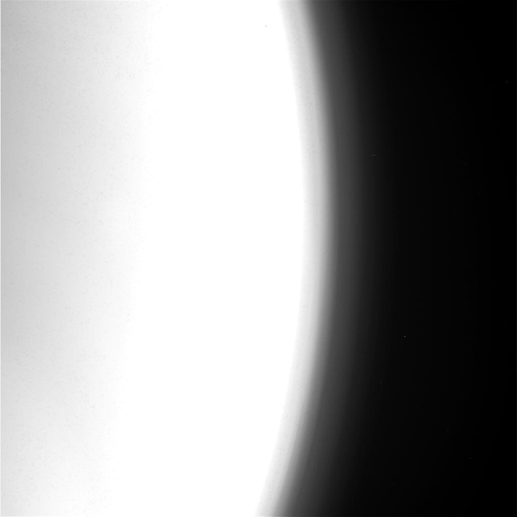
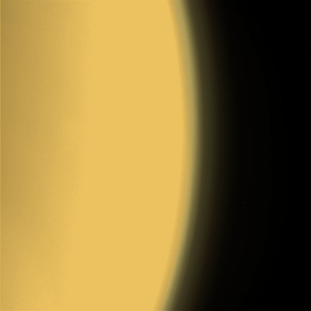
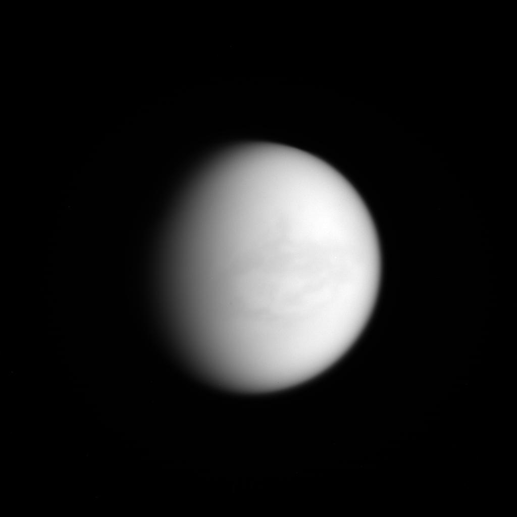
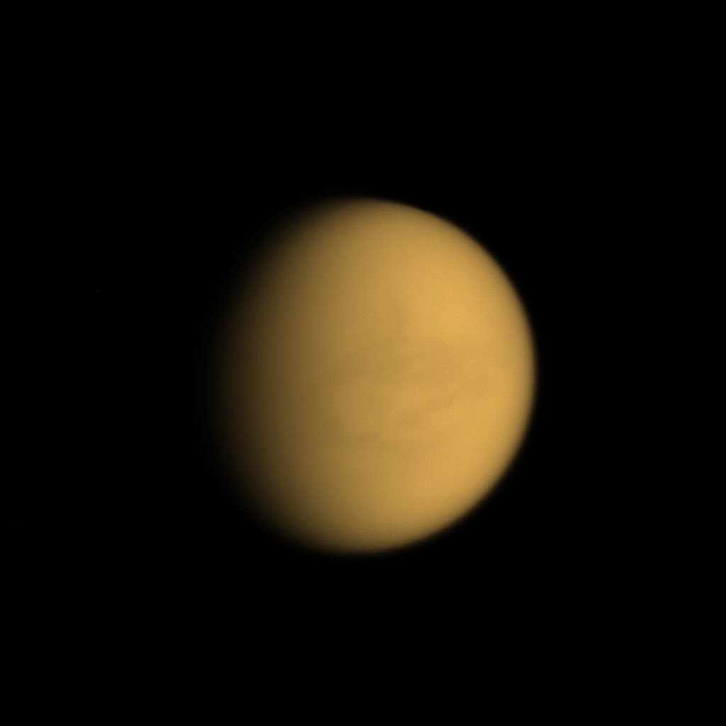
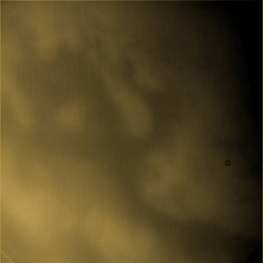
The image in the upper part of this table represents a raw view of a portion of Titan's atmosphere obtained on September 21, 2014 from the Cassini spacecraft on the basis of the CL1 filter and of the VIO filter. The image whose file name is W00090343.jpg had not been validated or calibrated at the time of the observation and a validated or calibrated version was going to be archived with the Planetary Data System proposed by NASA. The image in the lower part of the table represents a colorized version of the original view. One can notice the upper atmosphere of Saturn's largest moon in particular. Credit for the original view: NASA/JPL-Caltech/Space Science Institute. Credit for the colorization process of the original view: Marc Lafferre, 2021. |
|
|
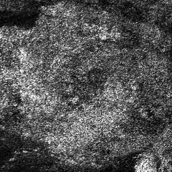
The image above represents a portion of a radar swath acquired from the Cassini orbiter during the T-95 Flyby performed on October 14, 2013. The file name of the radar swath is BIFQI09N199_D253_T095S01_V03.jpg. Each side of the view represents about 100 kilometers (approximately 62 miles). One can notice a relatively bright area in which a relatively dark circular feature can be identified. Does that relatively dark circular feature represent a caldera or an impact crater ? Is that relatively dark feature related to a cryovolcanic phenomenon ? Credit for the original view: NASA/JPL/Cassini Radar Team/PDS Image Atlas. Montage credit: Marc Lafferre, 2021. |

|
|
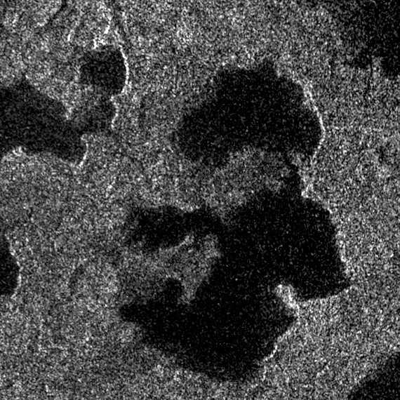
The image above represents a radar portion of Ligeia Mare, a famous pool of liquid found in the high latitudes of Titan's northern hemisphere. The original view whose file name is BIFQI39N235_D250_T092S01_V03.jpg was obtained during the T-92 Flyby performed on July 10, 2013. Each side of the view represents about 100 kilometers (about 62 miles). One can notice multiple islands whose shape is irregular. Some islands of Ligeia Mare may be particularly unstable as the Mystery of the Magic Island may suggest. Some radar views of the same area of Ligeia Mare reveal, indeed, new islands which have rapidly vanished. Many hypotheses have been advanced to try to solve that mystery but the phenomenon of the Magic Island remains a mystery. Credit for the original view: NASA/JPL/Cassini Radar Team/PDS Image Atlas. Montage credit: Marc Lafferre, 2021. |
|
|
The image above represents a portion of a radar swath of Saturn's largest moon Titan obtained from the Cassini spacecraft during the T-91 Flyby performed on May 23, 2013. Each side of the view represents approximately 100 kilometers (about 62 miles). One can notice interconnected lakes in particular. The pools or the rivers found in the high latitudes of the Opaque Moon tend to be dominated by methane. Methane plays a key role in the meteorology of the giant moon. Methane can evaporate, engender clouds and produce rainfall events from time to time. Credit for the original view: NASA/JPL/Cassini Radar Team/PDS Image Atlas. Montage credit: Marc Lafferre, 2021. |
|
|
|
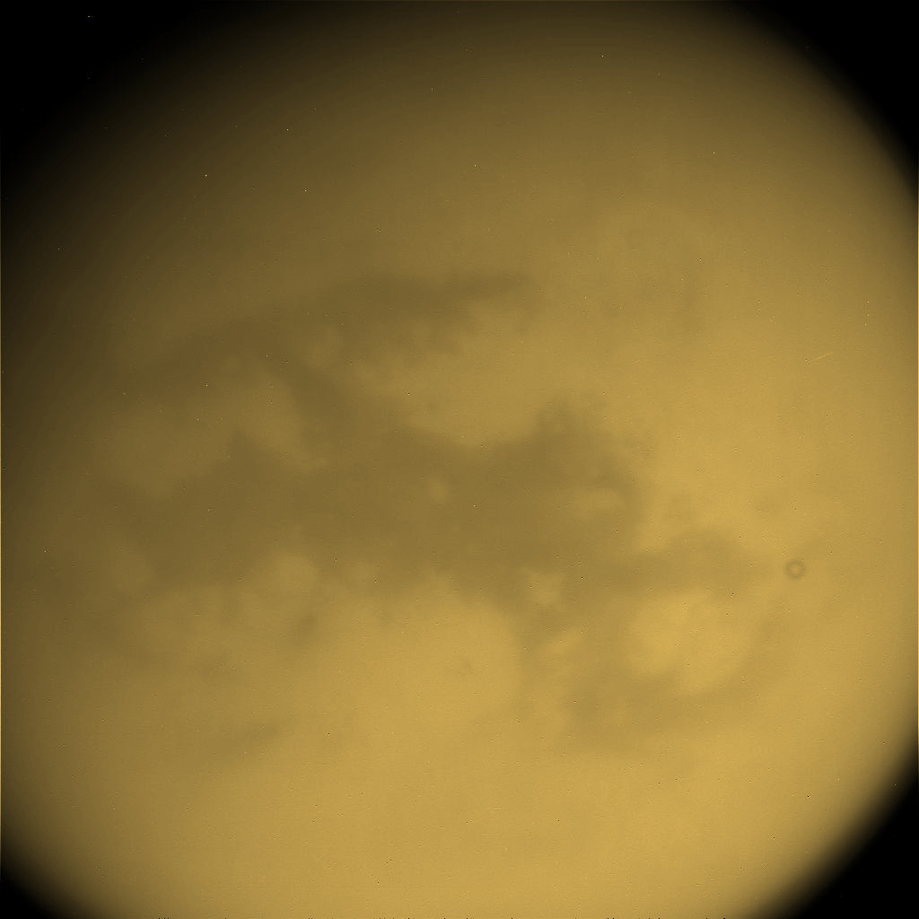
The image in the upper part of the table represents a raw view of Saturn's largest moon Titan obtained on November 19, 2007 from the Cassini spacecraft on the basis of the CB2 filter and of the IRP0 filter. The view whose file name is W00039304.jpg had not been validated or calibrated at the time of the observation and a validated or calibrated version was going to be archived with the Planetary Data System proposed by NASA. The Cassini/Huygens mission has revealed that Titan contains lakes, seas and rivers in its high latitudes and that the giant moon may also contain a subsurface ocean dominated by liquid water. The image in the lower part of the table represents a colorized version of the original view. Credit for the original view: NASA/JPL-Caltech/Space Science Institute. Credit for the colorization process of the original image: Marc Lafferre, 2021. |

|
|
|
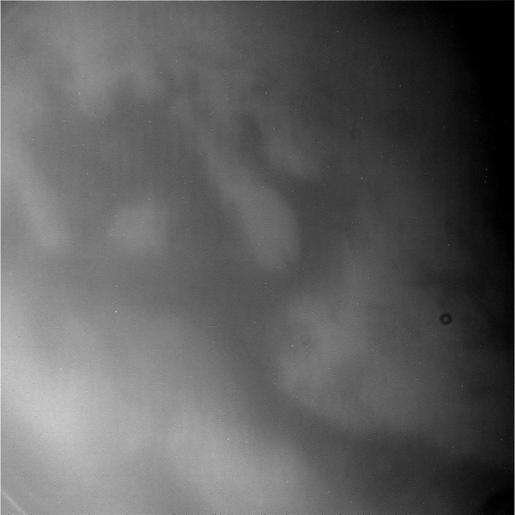
The image in the upper part of the table represents a raw view of a portion of Saturn's largest moon Titan obtained on July 25, 2015 from the Cassini spacecraft on the basis of the CL1 filter and of the CB3 filter. The view whose file name is N00244673.jpg had not been validated or calibrated at the time of the observation and a validated or calibrated version was going to be archived with the Planetary Data System proposed by NASA. One can notice the sharp contrast between bright areas and dark areas in particular. The dark areas found in the low or mid-latitudes are generally dominated by linear and parallel dunes extending over long distances. The eyes of the Cassini orbiter can discern surface features in the infrared or near-infrared spectrum. The view in the lower part of the table represents a colorized version of the original image. Credit for the original view: NASA/JPL-Caltech/Space Science Institute. Credit for the colorization process of the original view: Marc Lafferre, 2021. |
|
|
|
The image in the upper part of the table reveals a portion of Titan's landscape acquired from the Cassini orbiter on June 17, 2014. The view whose file name is N00225354.jpg was obtained on the basis of the CL1 filter and of the CB3 filter. The image had not been validated or calibrated at the time of the observation and a validated or calibrated version was going to be archived with the Planetary Data System proposed by NASA. One can notice the contrast between relatively bright areas and relatively dark areas. The image in the lower part of the table represents a colorized version of the original view. Credit for the original view: NASA/JPL-Caltech/Space Science Institute. Credit for the colorization process of the original view: Marc Lafferre, 2021. |
Titan Images 2020
Titan Images 2019
Titan Images 2018
Titan Images 2017
Titan Images 2016
Titan Images 2015
Titan Images 2014
Titan Images 2013
Titan Images 2012
Titan Images 2011
Titan Images 2010
Titan Images 2009
Titan Images 2008
Titan Images 2007
Titan Images 2006
Titan Images 2005, 2004
Back to Main Page